Boating, Fishing, and Travel Information for Ventura, CA
SEE MORESponsored Content
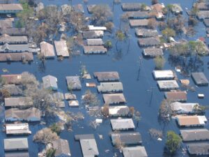
High Tide Flooding Outlook for April 2024
By US Harbors. Coastal Flooding Predictions for April 2024 April's highest tides will happen at the end of the 2nd week of the month, starting as early as April 7 in some places, and heading back to normal after the 11th or 12th. There are some location-specific outliers we're highlighting… Learn More
Fishing in Ventura, CA Map View
Coastal News Updates See All
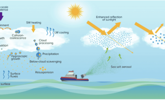
Scientists Detail Research to Assess Viability and Risks of Marine Cloud Brightening
By research.noaa.gov. As the levels of greenhouse gases in the atmosphere continue to increase and climate change impacts become more costly, the scientific community is redoubling efforts to investigate the potential risks and benefits of artificially shading Earth’s surface to slow global warming. Marine cloud brightening (MCB) is one of… SEE MORE
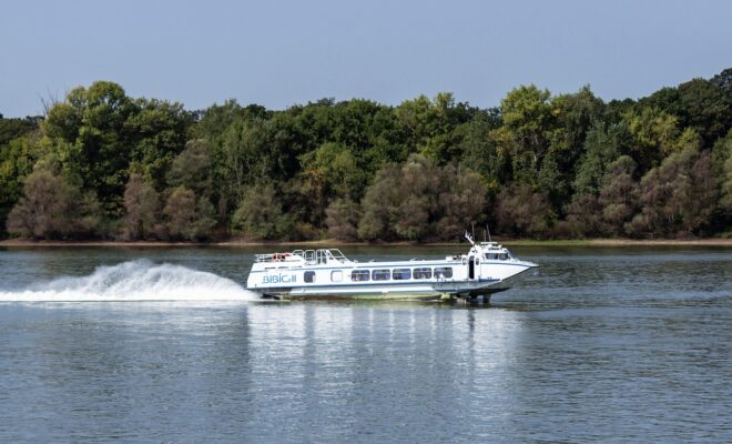
Using Hydrofoils to Improve Boat Performance
By Capt. Vincent Daniello. In my early days as a captain, few boats cruised faster than 30 mph. Back then, bigger engines and the fuel they burned added too much weight, netting little more speed. Today, even modest performers top 50 mph thanks to lighter engines and boat construction, where more… SEE MORE
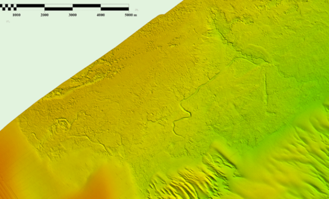
Possible Ancient River System Discovered off Wilmington, North Carolina
By noaacoastsurvey. During the 2023 field season, NOAA Ship Ferdinand R. Hassler was tasked with surveying an area offshore of Wilmington, North Carolina, in the vicinity of Frying Pan Shoals—a dynamic area of dangerously shallow waters. While scientists and crew conducted mapping surveys of the seafloor, they discovered what is believed to… SEE MORE